Get Support
+8801977426642

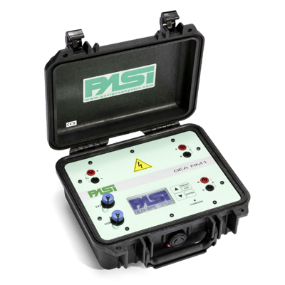
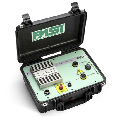
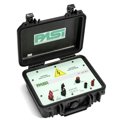
The Pasi MPX Electrical Resistivity Imaging system is a state-of-the-art geophysical instrument designed for accurate subsurface investigations. It provides high-resolution resistivity profiles, enabling engineers and geoscientists to identify soil layers, groundwater, and buried structures efficiently. With advanced multi-electrode configurations, the system ensures precise data acquisition, minimal field effort, and fast processing. Ideal for civil engineering, environmental studies, and construction site assessments, the Pasi MPX simplifies complex geophysical surveys while delivering reliable results. Its rugged design and user-friendly interface make it suitable for fieldwork in diverse terrains.
For professionals looking to invest in dependable geophysical equipment, understanding the Pasi MPX Electrical Resistivity Imaging Price in Bangladesh is crucial for budgeting and project planning. This instrument combines cutting-edge technology with practical usability, making it a preferred choice for engineers and surveyors across the country.
At Pico Labs Ltd., we provide comprehensive solutions for geotechnical and civil engineering projects. Our team ensures that clients receive authentic instruments along with technical support for seamless operation. Explore our wide range of Civil Equipment to find high-quality tools and machinery for your next project.
Key Features
- High-Resolution Imaging – Provides precise subsurface electrical resistivity maps for accurate soil and geological analysis.
- Multi-Electrode System – Supports multiple electrodes for 2D and 3D resistivity profiling.
- Portable & Rugged Design – Lightweight, field-ready design suitable for harsh environmental conditions.
- Advanced Data Acquisition – Fast and reliable data collection with automated measurement sequences.
- User-Friendly Interface – Easy-to-use display and software interface for real-time monitoring and analysis.
- Versatile Measurement Range – Suitable for diverse applications including civil, environmental, and geotechnical surveys.
- Durable Battery Life – Long-lasting power source for extended field operations.
- High Accuracy & Sensitivity – Detects subtle variations in subsurface resistivity for detailed imaging.
- Data Export & Compatibility – Supports common data formats for seamless integration with geophysical analysis software.
- Environmentally Adaptive – Works efficiently in varying soil types, moisture content, and terrains.
Specifications
| Specification | Details |
|---|---|
| Model | Pasi MPX |
| Measurement Method | Electrical Resistivity Imaging (ERI) |
| Electrode Configuration | Wenner, Schlumberger, Dipole-Dipole, or Custom |
| Number of Channels | Up to 64 channels (depending on configuration) |
| Data Acquisition | Multi-channel, automatic switching |
| Current Injection | Programmable DC current source |
| Measurement Range | 1 Ω·m to 10,000 Ω·m |
| Depth of Investigation | Up to 100 meters (depending on electrode spacing) |
| Resolution | High-resolution 2D/3D imaging |
| Data Output | Resistivity pseudosections, 2D/3D inversion results |
| Software | Integrated data acquisition and inversion software |
| Interface | USB/Ethernet for PC connectivity |
| Power Supply | Rechargeable battery pack / AC adapter |
| Operating Temperature | -10°C to 50°C |
| Weight | Approximately 12–15 kg (system) |
| Applications | Groundwater exploration, environmental studies, geological surveys, civil engineering |
| Compliance | CE certified / ISO standards (if applicable) |